Mapping Perspective
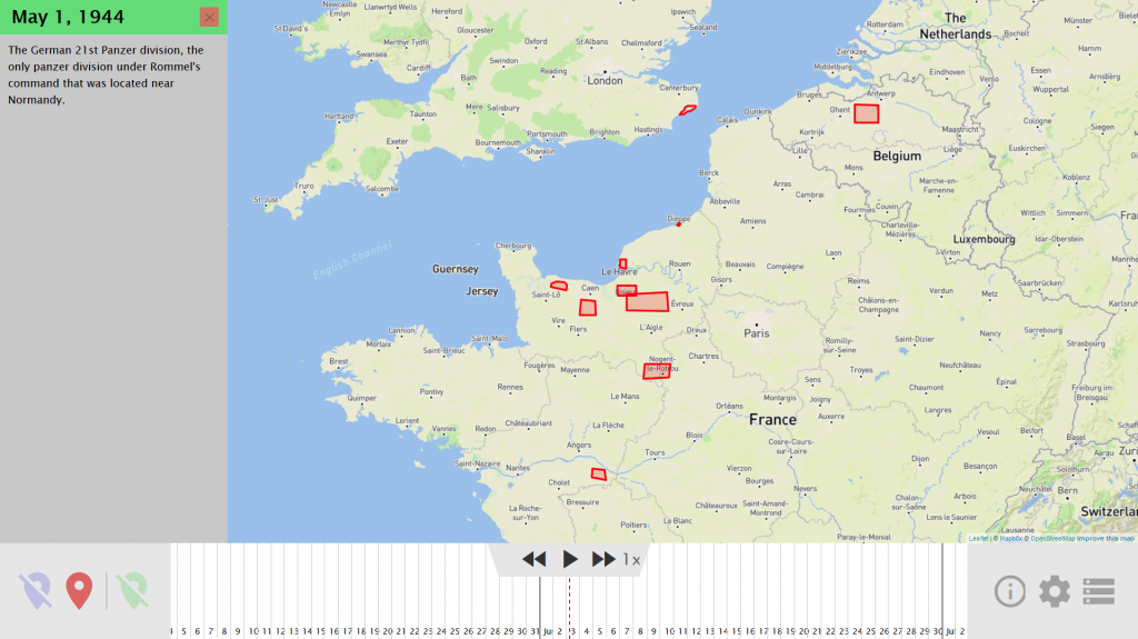
Mapping Perspective an interactive visualization of the D-Day landings, built to analyze the effect that limited knowledge had on the decisions made by the Allied and Axis powers of World War II. However, no existing software was suited to the task, and information was rarely available in sufficient detail from any one source. As a result, we built software for the visualization from the ground up using Leaflet to render the map layers, Mapbox to provide the map imagery, and a custom user interface and event playback system. I developed the map rendering and event playback code.
Built in collaboration with Benjamin Fields.

